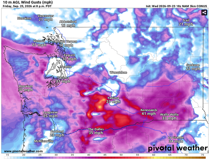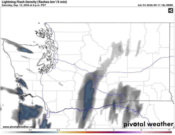
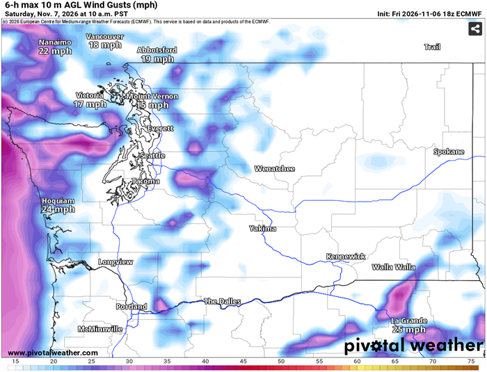
East winds anyone?

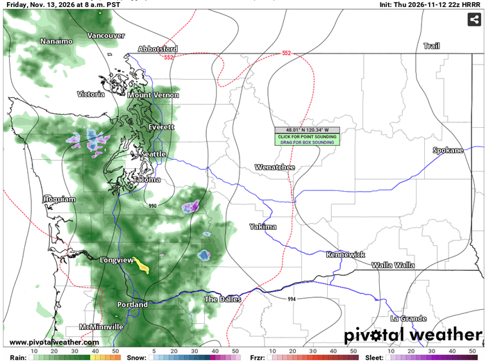
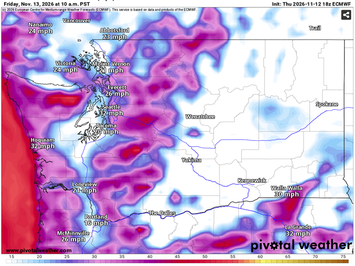
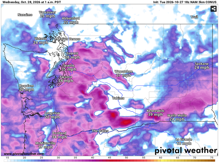
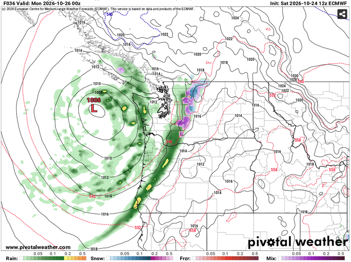
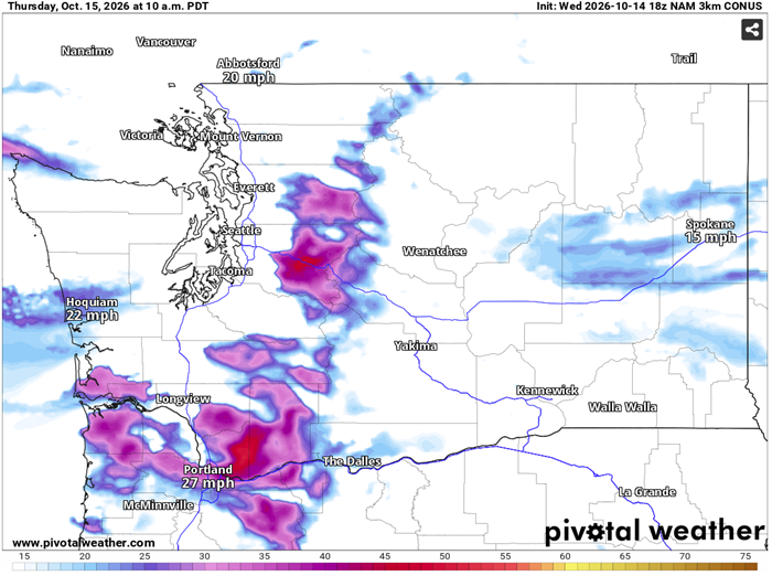
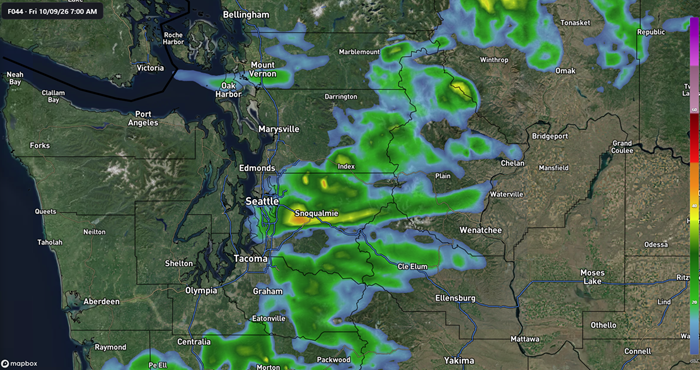
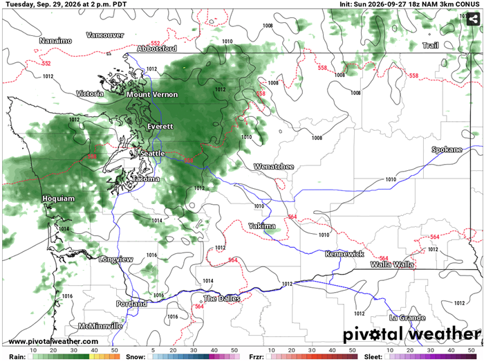
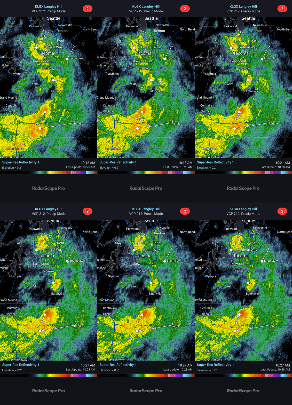
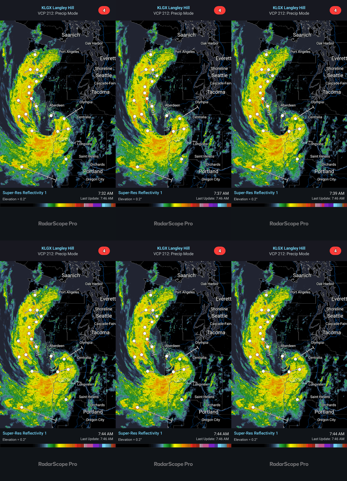
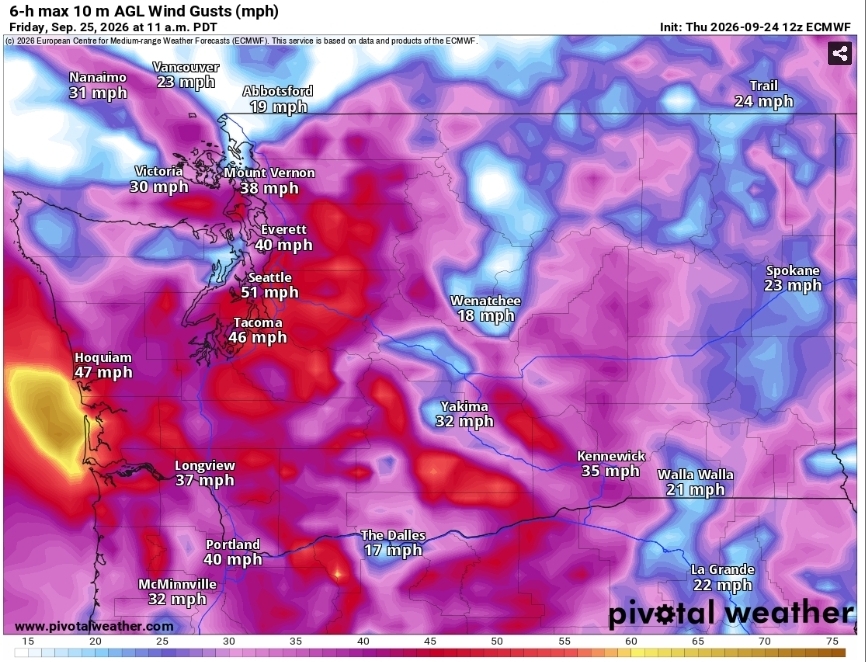
Our east winds should peak at about 30mph to 35mph Friday morning and should start to calm by the afternoon. Rain starts to move in Friday morning, and looks to be scattered for most of the weekend. Another round of east winds will kick up Saturday night.
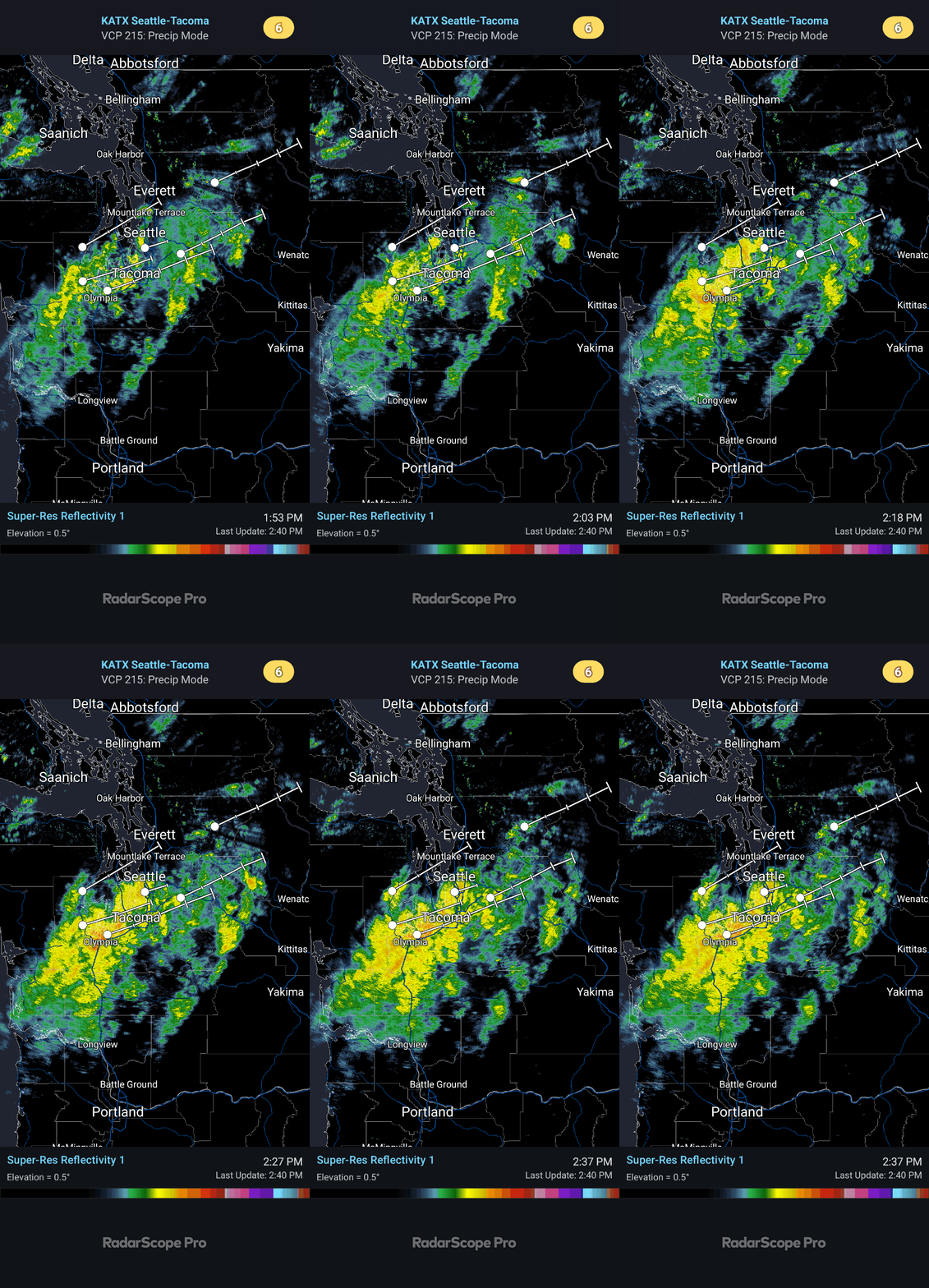
  • Rain
  • Wind

Earlier forecasts

  1. Saturday Weather.

    The rain and winds will calm down over night into Saturday. Saturday currently is looking dry with light winds. The rain and winds will start to pick up Saturday late evening and into the overnight hours. The winds will start as our normal east winds with gusts around 25mph…

    • Rain
    • Wind
    3 pictures
  2. Round 1 pointed right at us.

    I'll have a Saturday update out later.

    • Rain
  3. Rain is moving in.

    The rain will start Friday morning and last for most of the day, then it'll change to showers. Saturday night the rain returns and could be heavy at times and will continue through Sunday afternoon. Rain totals from Friday morning till Sunday night could reach 2 inches. I'll…

    • Rain
    3 pictures
  4. A little east wind action tonight.

    20mph to 25mph gusts possible. With these winds, our low temp will be about 10° warmer than lastnight. No ice scraper will be needed tomorrow morning.

    • Wind
  5. Frost Advisory in effect.

    From midnight till 9am Saturday. Forecasted low temperature of 34°.

  6. A little wind for us and a little snow for the cascades.

    Our winds will pick up a little later tonight, but only seeing 20mph to 25mph gusts possible from the south. Tomorrow morning snow could start falling at Snoqualmie pass levels, but it won't amount to much and shouldn't cause any travel issues. Mt.Si. could get its first dusting…

    • Snow
    • Wind
    2 pictures
  7. We may escape the rain.

    Looks like most of the rain will fall on the coast and stay NW of us. Still can't rule out a light shower on Sunday. The low tonight will be a few degrees warmer than last night thanks to the cloud cover. Still nothing showing in the long-range forecasts for any storms.

    • Rain
    2 pictures
  8. A little rain on tap for the weekend.

    Light rain will start Saturday late afternoon and last through Sunday. High temps will be in the upper 50's to low 60's and the lows will be in upper 30's to low 40's. For the month of October, we are 5.75" of rain behind average for the month. The snow level will lower to…

    • Pass
    • Rain
    2 pictures
  9. We got a minor east wind event on tap for Thursday.

    Starting early Thursday morning, the east winds will start to pick up. The peak gusts are looking to be at around 11am and should be calm by early evening. 25mph to 35mph gusts are possible. With those east winds, our high temp for Thursday will be in the mid 70's.

    • Wind
  10. Rain and gusty winds ahead.

    Thursday is looking dry before a cold front moves in Friday morning and lasting through Saturday. High temps for Friday and Saturday will be in the upper 50's to low 60's. It could get a little gusty Friday morning, 20mph to 25mph gusts possible. The rain will be off and on, and…

    • Rain
    • Wind
    3 pictures
  11. Upcoming weeks forecast.

    Monday is looking to be a carbon copy of today, highs in the mid to upper 60's. Tuesday takes a turn to rain, off and on rain throughout that day but shouldn't be too heavy. Wednesday through the rest of the week looks dry with highs in the upper 60's to low 70's.

    • Rain
    2 pictures
  12. Power outages.

    Over 38k power outages down south reported by PSE.

    • Storm
    • Wind
    2 pictures
  13. Updated storm track.

    The storm is tracking farther north than lastnights models. Our winds should start at around noon and last for a few hours. I'm still seeing gusts possible to 35mph.

    • Wind
  14. Friday wind update.

    The latest models have increased our wind gusts for Friday. 30mph to 35mph gusts possible from the SW. Make sure your backyard umbrella doesn't end up in your neighbors yard.

    • Wind
  15. Welcome to our first Fall weather disturbance.

    Friday morning our first weather disturbance of the season is approaching. The storm itself will be making landfall in Oregon, but we'll be catching the northern part of it. Wind gusts for our area should only be around 20mph as these are south winds. The rainfall total from…

    • Rain
    • Wind
    3 pictures
  16. We have a decent weekend weather wise coming our way.

    The temps will be in the mid to upper 70's. Can't beat that for this time of the year. Currently the next rain chance is looking to be next Tuesday, but not a lot. Currently I'm not seeing any big weather makers in the long-term forecasts on any models.

    • Heat
    • Rain
    2 pictures
  17. All good things must come to an end.

    We got rain moving in on Saturday. It'll be mostly scattered on Saturday with a very slight chance of a thunderboomer. Sunday morning and throughout the day we'll have more widespread rain for much of the day. Possible up to 1" of total rain for the weekend. My grass sure needs…

    • Rain
    • Storm
    2 pictures

North Bend Weather on your phone

What it is like outside right now, in plain English, from the station in town. New forecasts show up as soon as they are posted, along with the pass and any weather alerts.

Download on the App Store Get it on Google Play Coming soon
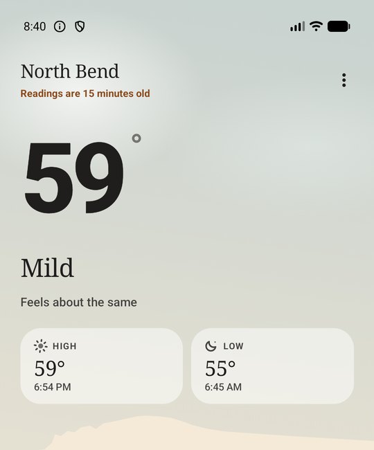
The North Bend Weather app showing 59 degrees and mild, with today's high and low